Sitemap
Mano VILNIUSTECH
lt
Faculty of Environmental Engineering
About faculty
Structure
Partners
Studies
About Studies
Bachelor study programmes
Master study programmes
Doctoral study programmes
Admission
Research and innovation
About research and innovation
Research fields
Doctoral Studies
Research projects
Conferences and Events
International
About International
Partners
Current projects
For business
Departments
Department of Building Energetics
Department of Environmental Protection and Water Engineering
Department of Geodesy and Cadastre
Department of Roads
Research Institute of Environmental Protection
Research Institute of Geodesy
Research Institute of Territorial Planning
Road Research Institute
Contacts
Main contacts
Deparments contacts
lt
Environmental Engineering
Departments
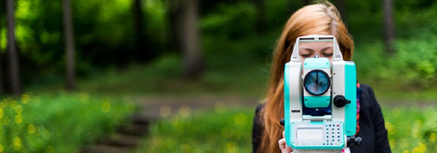
Department of Geodesy and Cadastre
Studies
Final work annotation
Department of Building Energetics
Department of Environmental Protection and Water Engineering
Department of Geodesy and Cadastre
About department
Studies
Final work annotation
Research and innovation
Contacts
Subdivisions
Department of Roads
Research Institute of Environmental Protection
Research Institute of Geodesy
Research Institute of Territorial Planning
Road Research Institute
Final work annotation
Choose year
2025
2024
2023
2022
2021
2020
2019
2018
2017
2016
2015
2014
2013
2012
2011
2010
2009
2008
Choose type
Bachelor
Master
Page administrators:
Česlav Vilkevič
Laura Ladietaitė
Karolina Kardokaitė
Ugnė Daraškevičiūtė
Faculty of Environmental Engineering
Faculty of Environmental Engineering
About faculty
Structure
Partners
Studies
Studies
About Studies
Bachelor study programmes
Master study programmes
Doctoral study programmes
Admission
Research and innovation
Research and innovation
About research and innovation
Research fields
Doctoral Studies
Research projects
Conferences and Events
International
International
About International
Partners
ERASMUS+
Current projects
For business
News
Departments
Departments
Department of Building Energetics
About Department
Studies
Research and Innovation
Laboratories
Laboratory of Building Energy and Microclimate Systems
Heat Transfer Laboratory of Academician Algirdas Žukauskas
Contacts
Department of Environmental Protection and Water Engineering
Studies
Final work annotations
Research and innovation
Laboratories
Contacts
Department of Geodesy and Cadastre
About department
Studies
Final work annotation
Research and innovation
Contacts
Subdivisions
Laboratory of Geodesy and Cadastre
Department of Roads
About department
Studies
Final thesis annotations
Research and innovation
Subdivisions
Contacts
Research Institute of Environmental Protection
Research Institute of Geodesy
Research Institute of Territorial Planning
About department
Projects
Modeling of traffic flow
Contacts
International Projects
Road Research Institute
Contacts
Contacts
Main contacts
Deparments contacts
Mano VILNIUSTECH
vilniustech.lt