- Faculty of Environmental Engineering
- Faculty Departments
- Department of Geodesy and Cadastre
Department of Geodesy and Cadastre
Geodesy and cartography in Lithuania have deep historical roots dating back to the Grand Duchy of Lithuania. The Department of Geodesy and Cadastre trains geodesists, surveyors, and cadastral specialists and is the only department in Lithuania to offer bachelor’s studies in this area.
About the Department

Department Activity Areas
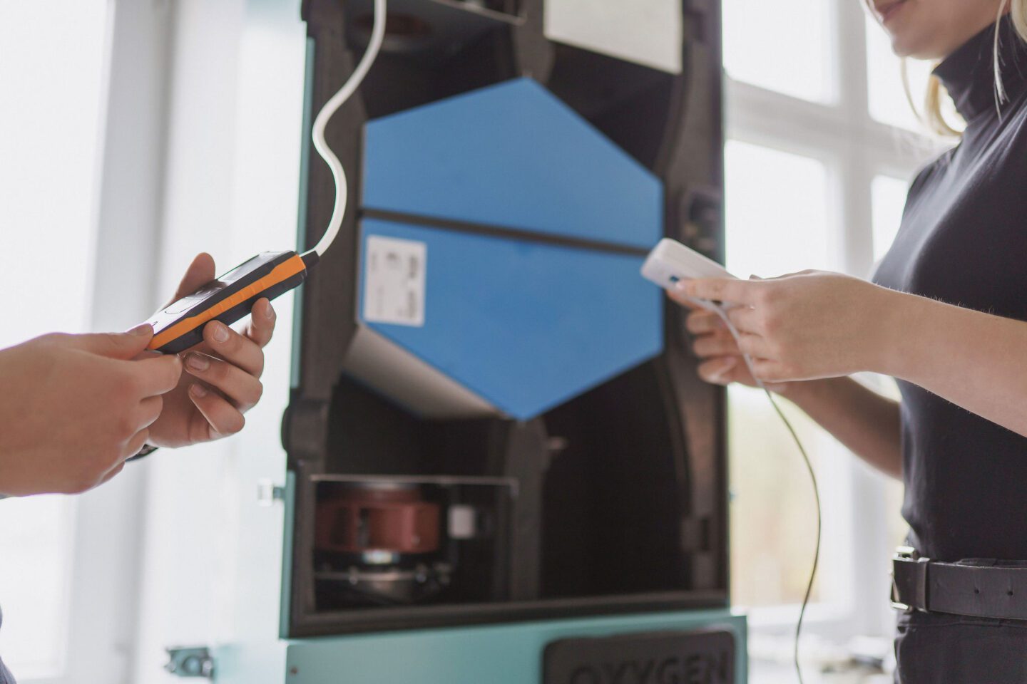
Geodesy and land surveying
- Establishment of geodetic networks using GPS
- Vertical geodetic network development
- Research on the Earth’s figure and gravitational field
- Research on geodynamic processes within the territory of Lithuania
- Study of deformations in engineering structures
Information and digital systems
- Mathematical processing of geodetic and photogrammetric data
- Development of geodetic networks, digital maps, and cadastral information systems
- Digital cartography
- Application of Geographic Information Systems (GIS)
Partners
Department of Geodesy and Cadastre maintains active cooperation with social and business partners.


Show more
Department Staff
The academic staff of the Department of Geodesy and Cadastre at the Faculty of Environmental Engineering are recognised geoinformatics specialists who actively contribute to scientific advancement and applied innovation, supporting the development of competencies for future geodesy, surveying, and real estate cadastre professionals.
Department Heads
- Department Heads
-
Prof. Dr. Jūratė Sužiedelytė VisockienėHead
-
Kazys PleskisHead of Laboratory(ies)
Show more